Tamarack Fire 45% Contained

The 9:00 AM report says Division L has merged into Division O and today’s map shows little if any progress toward the Pine Nut Mountains HA.

The total area burned is now 67,800 acres, with over 1,600 personnel involved.

Today’s forecast calls for thunderstorms, with the potential for heavy rains, according to the overview at InciWeb.

RELATED: Tamarack Fire Still Growing.

UPDATE: Added video of today’s briefing.

Drought: Pretext for Massive Wild Horse Removals?

The WHBAB floated the idea earlier this month.  Now, the writer of letter to The Salt Lake Tribune jumps on the bandwagon, claiming that the horses will starve and/or die of thirst if they’re not pulled off the range.

The current population has surpassed 3X AML, which means three times more than allowed by plan.

Given that livestock receive four to six times as much forage than the horses, there should be enough food overall.

Many ranchers have voluntarily reduced grazing in response to the drought, according to the writer, but by by much?  Five to ten percent?  A symbolic gesture in anticipation of resource enforcement actions by the federal government?

RELATED: West Douglas Emergency Gather Starts Next Week.

Tamarack Fire Still Growing

Division L has been established on the northeast side of the fire, which should reduce or limit the spread into the Pine Nut Mountains Herd Area.

The latest map shows containment on the west side of Highway 395 at Spring Valley.

The total area burned is now 66,700 acres, with over 1,500 personnel involved.

Chance of thunderstorms today with gusty outflow winds.

RELATED: Light Winds Slow Progress of Tamarack Fire.

Light Winds Slow Progress of Tamarack Fire

Later today, winds are expected to shift to the northwest, according to the July 23 community briefing, steering the fire away from the Pine Nut Mountains HA (go to 12:35 in this video).

The burned area is now 65,100 acres with 4% containment.  The section along Highway 395 falls under Division O in this morning’s 9:00 AM report.

This photo was taken yesterday from the west side of the Virginia Range, about 50 miles north of the fire.

Smoke from Tamarack Fire 07-23-21

West Douglas Emergency Gather Starts Next Week

An estimated 450 wild horses will be removed from the West Douglas Herd Area, south of Rangely, CO, starting on July 26.  Dry conditions have reduced forage production and a wildfire has burned critical summer habitat, according to a BLM news release.

The horses will be pushed into the traps with helicopters and the operation will be open to public observation.

West Douglas has no AML.  Although horses were found there in 1971, it has not been managed for them since 1975.

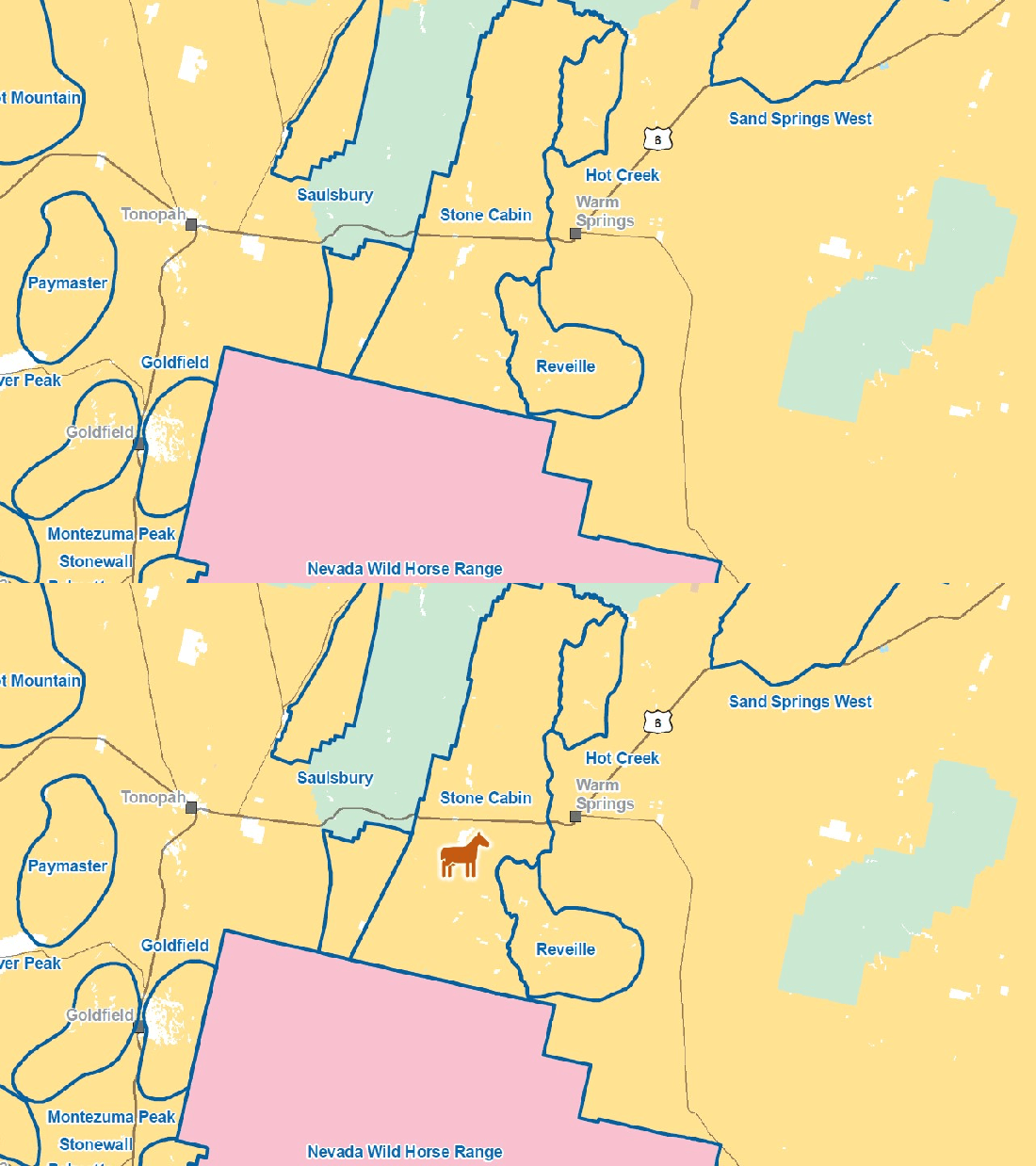
West Douglas HA Map 07-24-21

The announcement did not indicate if the HA was subject to permitted grazing and did not provide the destination of captured animals.

The gather page says they will be available for adoption though the Cañon City facility.

Daily reports and cumulative totals will be posted to that page.

Rock Springs Wild Horse Gather Plan Approved

The Decision Record was signed today, clearing the way for a roundup in October that will gather approximately 4,400 wild horses from five HMAs, according to the news release, with 3,555 to be removed.

Mares returned to the range will be treated with fertility control.

The Final EA was posted with other project documents.

The project is not associated with the Rock Springs RMP Amendments, which will close three of the HMAs and downsize a fourth.

RELATED: Comments Invited on Draft EA for Rock Springs Gather Plan.

Tamarack Fire Enters Nevada

The fire crossed into Douglas County yesterday.  The area burned is now 43,900 acres, according to the overview at Inciweb, with no containment.

Yesterday’s 5:30 PM update said Highway 395 has been closed and the Spring Valley Subdivision is threatened.

A report by Carson Now said the flames jumped the highway but fire crews were able to stop the spread.

RELATED: Tamarack Fire Approaching Nevada State Line.

Tamarack Fire Map 07-22-21

Comments Invited on Draft EA for Sinbad Management Actions

Today, the BLM published a preliminary environmental assessment for resource enforcement actions in the Sinbad HMA.  Comments can be submitted through August 20, according to the news release.

The proposed action features periodic gathers to remove excess animals, fertility control vaccines and possible use of IUDs.  The plan would be valid for ten years.

The HMA covers 99,241 acres in central Utah and has an AML of 70 wild burros, equivalent to 35 wild horses.  The equivalent stocking rate is 0.35 wild horses per thousand acres, considerably lower than the average rate of one wild horse per thousand acres across all HMAs.

Sinbad HMA Map 07-21-21

The HMA intersects seven grazing allotments, according to Table 6 in the EA.  Burros have not been documented in two of them per the footnotes.  A map provided with the project documents shows the arrangement.

Concerns about resource allocations and management priorities, although valid, should not be submitted as they are outside the scope of the project.

The problem is upstream, in the Price RMP, cited numerous times in the EA.

An emergency roundup occurred in the area about a year ago.

RELATED: Sinbad Burros Getting Short End of Stick?