The action was to resume yesterday, according to a notice dated February 16 by the Forest Service, and continue through February 26.
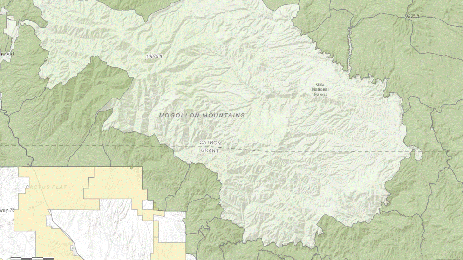
The closure area, effective February 20, is bounded by Turkey Creek to the north, the Gila River to the south, and extends eastward into the vacant Redstone Allotment.
The Gila Wilderness is surrounded by USFS grazing allotments, the likely source of the target animals. Click on image to open in new tab.
RELATED: Forest Service to Resume Aerial Shooting of Gila Livestock.