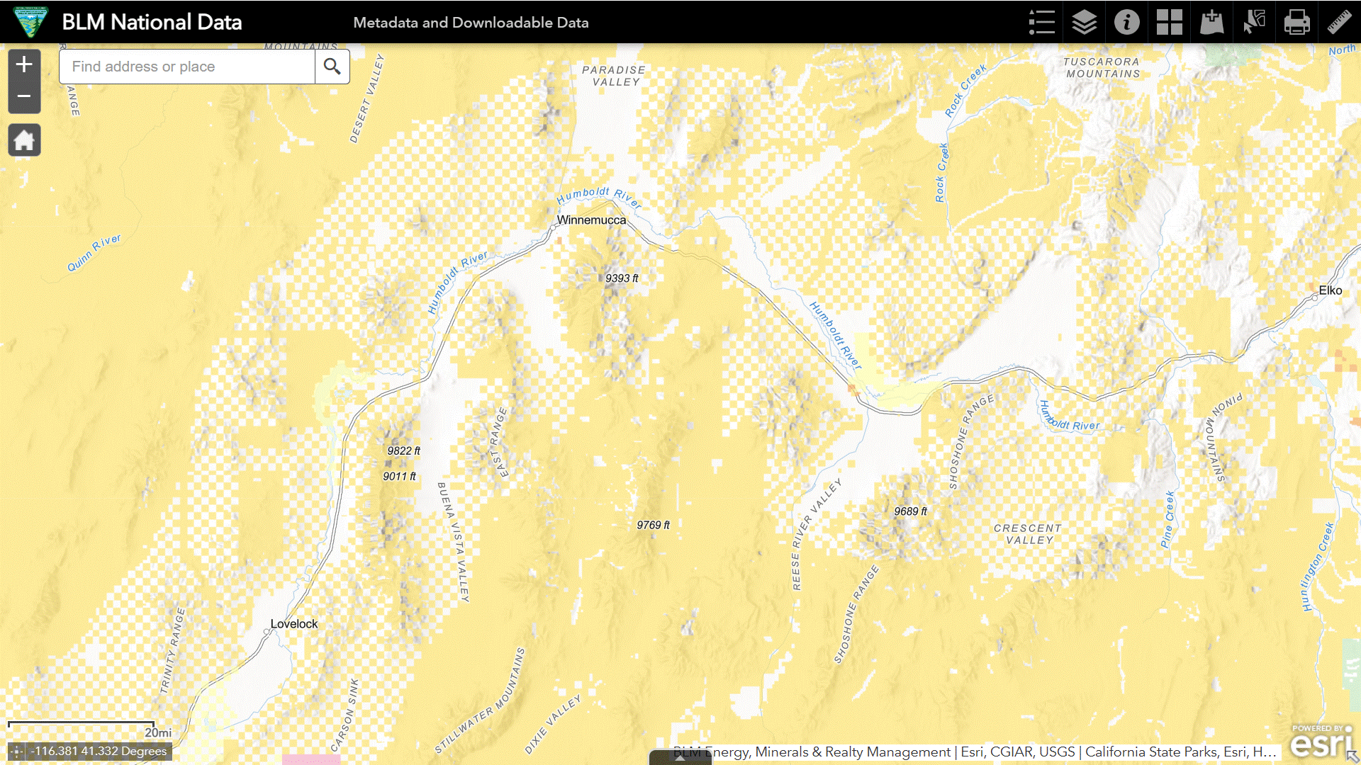
The following maps from the National Data Viewer show land designations along the I-80 corridor from Lovelock to Elko. Click on image to open in new tab.
BLM land is tan, private property is white.
First, areas of critical environmental concern, in gray.
Next, herd areas, in black, where wild horses were found in 1971.
In orange, herd management areas, with non-zero AMLs, a subset of the herd areas.
Finally, in green, the grazing allotments.
What’s the predominant use of public lands in this area?