From the National Data Viewer.
Areas of Critical Environmental Concern are shown in gray.
Areas identified for wild horses are shown in black.
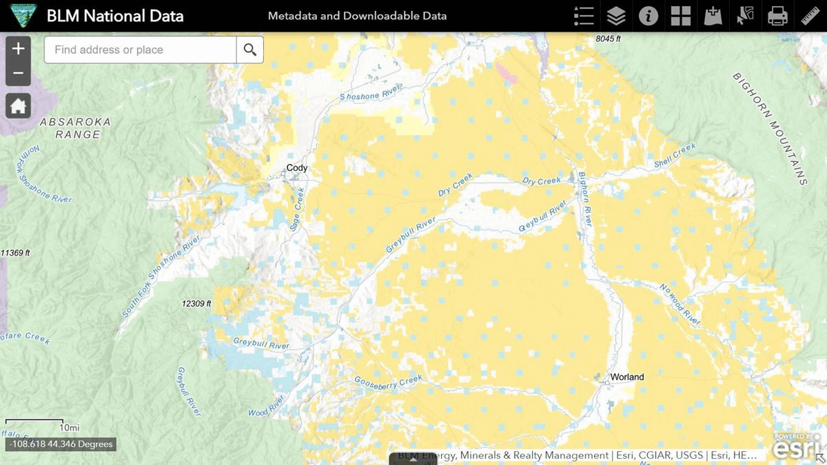
Areas managed for wild horses are shown in orange. McCullough Peaks is east of Cody, Fifteenmile is southeast.
Areas managed for livestock are shown in green, an indication of what the McCullough advocates are trying to protect with their ruinous darting program.
While ACECs may be an impediment to management of wild horses, they don’t appear to be a major obstacle to permitted grazing.
Although horses are often blamed for poor rangeland health, most of the BLM land in this map, denoted by tan, is horse free.
RELATED: Wild Horse Management Trends in Southwestern Wyoming.