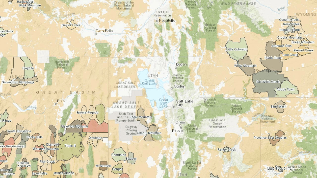
Western Watersheds Project released an interactive map last week that shows areas identified for livestock grazing relative to areas reserved for wild horses and burros.
No more guessing if an HMA or WHT is subject to permitted grazing!
See if you can find the Rock Springs HMAs in southwest Wyoming. Table 8 in the Final EA for resource enforcement actions shows the HMAs and the allotments that overlap them. Zoom in to see the boundaries.
One problem is the pop-up box that appears when you click on an allotment. It may it hide the area you’re trying to view. You can’t drag it out of the way so the workaround is to click on the eastern side of the parcel.
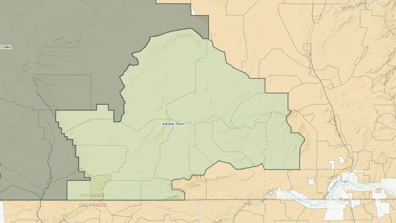
The map shows the BLM Field Offices so you can get additional information about the allotments from RAS. The map also shows the USFS Ranger Districts but as of today, Western Horse Watchers has not found a similar reporting tool for their allotments.
