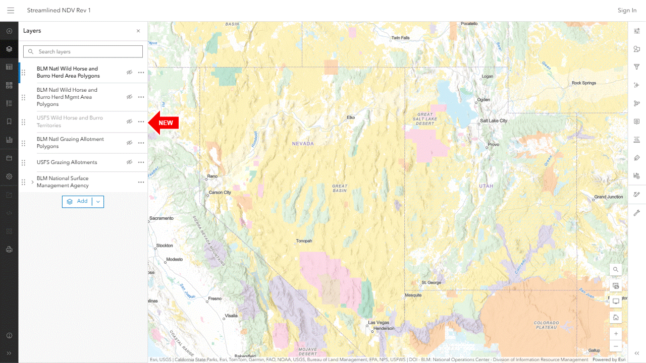
Added two layers to the map and saved it as Rev 1:
- USFS Wild Horse and Burro Territories (not visible by default)
- USFS Grazing Allotments (not visible)
The territories are not active at the default zoom level. Click the Zoom In button to activate them. Then click the visibility icon next to the layer name to see them.
A blinking dot on the left side of the visibility icon means the layer is loading.
Territory labels may require additional zooming.
The Legend toolbar button (on the left margin) explains the color codes.
RELATED; Streamlined NDV Replacement.