A notice in the Federal Register dated April 29 segregates approximately 23,000 acres from all forms of appropriation under the public land laws, including mining, mineral leasing and geothermal leasing for a period of two years, pending an Environmental Assessment that will analyze the effects of a proposal by the National Aeronautics and Space Administration.
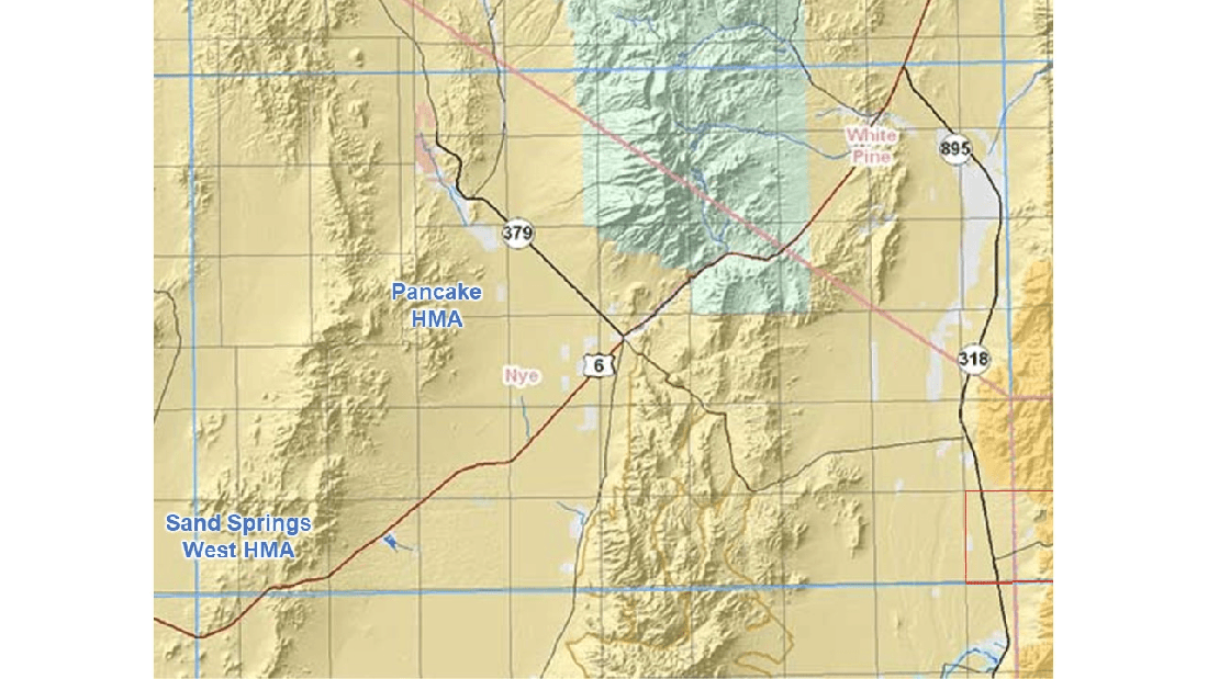
The project area is in the Railroad Valley, 80 miles northeast of Tonopah, NV, according to a BLM news release posted yesterday.
The announcement did not explain ‘satellite calibration.’
The area of interest is on the south side of Highway 6, based on the townships and ranges given in the Federal Register and a map in the BLM Land Records search tool.
The grid lines mark off parcels of approximately 36 square miles. Hover over each one in the BLM map to see its coordinates.
The withdrawal would include a portion of the land in the two parcels.
The news release did not say if the area would be off limits to wild horses and livestock.
Calibration usually involves the measurement of known quantities, called ‘standards,’ followed by adjustment of the instrument to bring the measured values in line with the known values.
